alb9203173
World Map with Equator and Hottest Places
| Partager |
|---|
 Pinterest Pinterest |
 Twitter Twitter |
 Facebook Facebook |
 Copier le lien Copier le lien |
 Email Email |
|
Ajouter à une autre Lightbox |
|
Ajouter à une autre Lightbox |


Avez-vous déjà un compte? S'identifier
Vous n'avez pas de compte ? S'inscrire
Acheter cette image.
Sélectionnez l'usage:

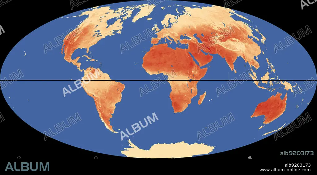
Titre: World Map with Equator and Hottest Places
Légende: Voir la traduction automatique
Outline of world map, showing the hottest places (in red) relative to the equator (in black).
Outline of world map, showing the hottest places (in red) relative to the equator (in black).
Crédit: Album / Science Source / Jessica Wilson/NASA
Autorisations: ? Autorisation de modèle: Non - ? Autorisation de propriété: Non
Questions sur les droits?
Questions sur les droits?
Taille de l'image: 4500 × 2249 px | 29.0 MB
Taille d'impression: 38.1 × 19.0 cm | 1771.7 × 885.4 in (300 dpi)
Mots clés: GRAPHIQUE • LIEUX • MER • METEOROLOGIE • MONDE • OCEAN • ORDINATEUR • PAYSAGE MARITIME • PLACES • TEMPERATURE • ZERO
