alb3549119
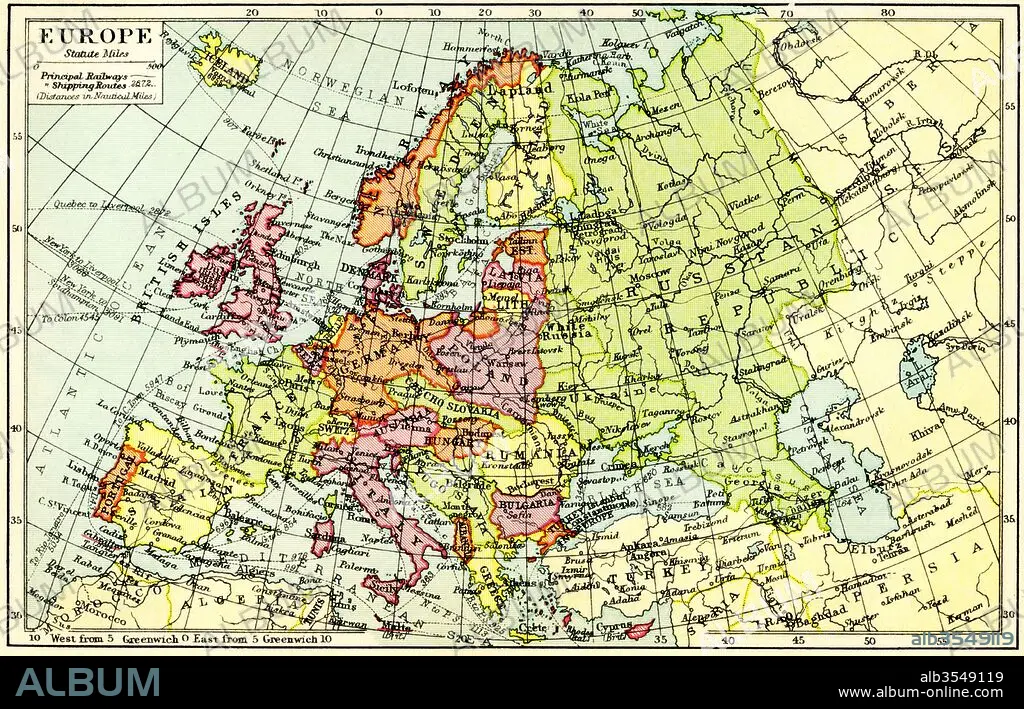
A 1930's map of Europe
| Partager |
|---|
 Pinterest Pinterest |
 Twitter Twitter |
 Facebook Facebook |
 Copier le lien Copier le lien |
 Email Email |
|
Ajouter à une autre Lightbox |
|
Ajouter à une autre Lightbox |


Avez-vous déjà un compte? S'identifier
Vous n'avez pas de compte ? S'inscrire
Acheter cette image.
Sélectionnez l'usage:

Titre:
A 1930's map of Europe
Légende:
Voir la traduction automatique
A 1930's map of Europe.
Crédit:
Album / Universal Images Group / Universal History Archive
Autorisations:
Modèle: Non - Propriété: Non
Questions sur les droits?
Questions sur les droits?
Taille de l'image:
5344 x 3426 px | 52.4 MB
Taille d'impression:
45.2 x 29.0 cm | 17.8 x 11.4 in (300 dpi)
Mots clés:
CARTE (GEOGRAPHIE) • CARTE GEOGRAPHIQUE • CARTE • DESSIN PLANS • EUROPE • EUROPÉEN • GEOGRAPHIE • HISOIRE • HISTOIRE • ILLUSTRATION • PAYS • PLAN (CARTOGRAPHIE) • PLANS • XXE SIECLE
