alb8349195
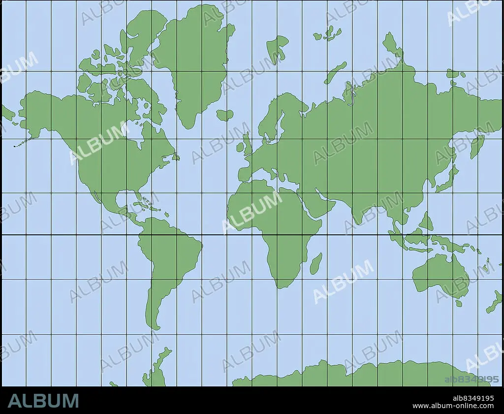
Invented in 1569 by the Dutch geographer Gerard Mercator, the Mercator projection compensates for the eastwest distortion with an equivalent southnorth distortion of the polar regions. Because of this, the Mercator projection preserves the right angles between the parallels and meridians, and is therefore still one of the most frequently used systems for navigation. However, the correction causes some areas, especially those close to the poles, to appear larger.
| Partager |
|---|
 Pinterest Pinterest |
 Twitter Twitter |
 Facebook Facebook |
 Copier le lien Copier le lien |
 Email Email |
|
Ajouter à une autre Lightbox |
|
Ajouter à une autre Lightbox |


Avez-vous déjà un compte? S'identifier
Vous n'avez pas de compte ? S'inscrire
Acheter cette image.
Sélectionnez l'usage:

Légende: Voir la traduction automatique
Invented in 1569 by the Dutch geographer Gerard Mercator, the Mercator projection compensates for the eastwest distortion with an equivalent southnorth distortion of the polar regions. Because of this, the Mercator projection preserves the right angles between the parallels and meridians, and is therefore still one of the most frequently used systems for navigation. However, the correction causes some areas, especially those close to the poles, to appear larger.
Invented in 1569 by the Dutch geographer Gerard Mercator, the Mercator projection compensates for the eastwest distortion with an equivalent southnorth distortion of the polar regions. Because of this, the Mercator projection preserves the right angles between the parallels and meridians, and is therefore still one of the most frequently used systems for navigation. However, the correction causes some areas, especially those close to the poles, to appear larger.
Crédit: Album / Universal Images Group
Autorisations: ? Autorisation de modèle: Non - ? Autorisation de propriété: Non
Questions sur les droits?
Questions sur les droits?
Taille de l'image: 3159 × 2430 px | 22.0 MB
Taille d'impression: 26.7 × 20.6 cm | 1243.7 × 956.7 in (300 dpi)
Mots clés: COULEUR • GEOGRAPHIE • ILLUSTRATION
