alb15425852
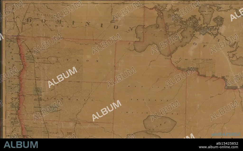
Map of the state of Minnesota and adjacent portions of Wisconsin, Iowa, Dakota and the Dominion of Canada, 1882, Warner & Foote, Date Issued: 1882, Place: Minneapolis, Minn., Publisher: Warner & Foote, Indians of North America, Administrative and political divisions, Extent: 1 map: hand colored, 176 x 151 cm, on sheet 186 x 168 cm, NYPL Map Div. copy isdivided into 8 sheets, 48 x 84 cm, or smaller, Ancient lands unite, Waters flow, borders clarify, Minnesota's birth.
| Partager |
|---|
 Pinterest Pinterest |
 Twitter Twitter |
 Facebook Facebook |
 Copier le lien Copier le lien |
 Email Email |
|
Ajouter à une autre Lightbox |
|
Ajouter à une autre Lightbox |


Avez-vous déjà un compte? S'identifier
Vous n'avez pas de compte ? S'inscrire
Acheter cette image.
Sélectionnez l'usage:

Légende:
Voir la traduction automatique
Map of the state of Minnesota and adjacent portions of Wisconsin, Iowa, Dakota and the Dominion of Canada, 1882, Warner & Foote, Date Issued: 1882, Place: Minneapolis, Minn., Publisher: Warner & Foote, Indians of North America, Administrative and political divisions, Extent: 1 map: hand colored, 176 x 151 cm, on sheet 186 x 168 cm, NYPL Map Div. copy isdivided into 8 sheets, 48 x 84 cm, or smaller, Ancient lands unite, Waters flow, borders clarify, Minnesota's birth
Crédit:
Album / quintlox
Autorisations:
Modèle: Non - Propriété: Non
Questions sur les droits?
Questions sur les droits?
Taille de l'image:
5200 x 2973 px | 44.2 MB
Taille d'impression:
44.0 x 25.2 cm | 17.3 x 9.9 in (300 dpi)
Mots clés:
