alb5295064
British Empire in North America-1783
| Partager |
|---|
 Pinterest Pinterest |
 Twitter Twitter |
 Facebook Facebook |
 Copier le lien Copier le lien |
 Email Email |
|
Ajouter à une autre Lightbox |
|
Ajouter à une autre Lightbox |


Avez-vous déjà un compte? S'identifier
Vous n'avez pas de compte ? S'inscrire
Acheter cette image.
Sélectionnez l'usage:

Titre:
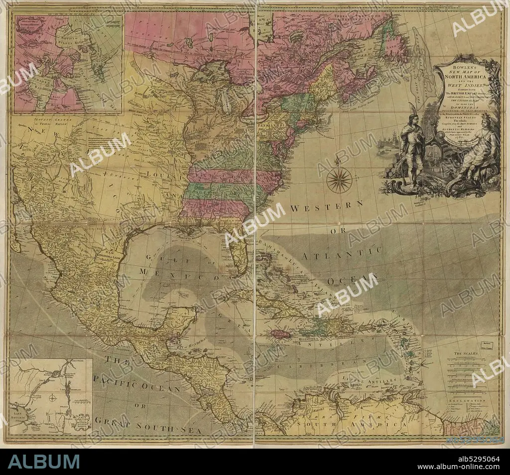
British Empire in North America-1783
Légende:
Voir la traduction automatique
Bowles's new map of North America and the West Indies, exhibiting the British Empire therein with the limits and boundaries of the United States as also the dominions possessed in that quarter, by the Spaniards, the French & other European states, the whole compiled from the best surveys and authentic memoirs which have appeared to the present year, 1783..
Crédit:
Album / Buyenlarge/Universal Images Group
Autorisations:
Taille de l'image:
5100 x 4491 px | 65.5 MB
Taille d'impression:
43.2 x 38.0 cm | 17.0 x 15.0 in (300 dpi)
Mots clés:
