alb3291891
Marine GPS navigation device circa 1990.
| Partager |
|---|
 Pinterest Pinterest |
 Twitter Twitter |
 Facebook Facebook |
 Copier le lien Copier le lien |
 Email Email |
|
Ajouter à une autre Lightbox |
|
Ajouter à une autre Lightbox |


Avez-vous déjà un compte? S'identifier
Vous n'avez pas de compte ? S'inscrire
Acheter cette image.
Sélectionnez l'usage:

Titre: Marine GPS navigation device circa 1990.
Légende: Voir la traduction automatique
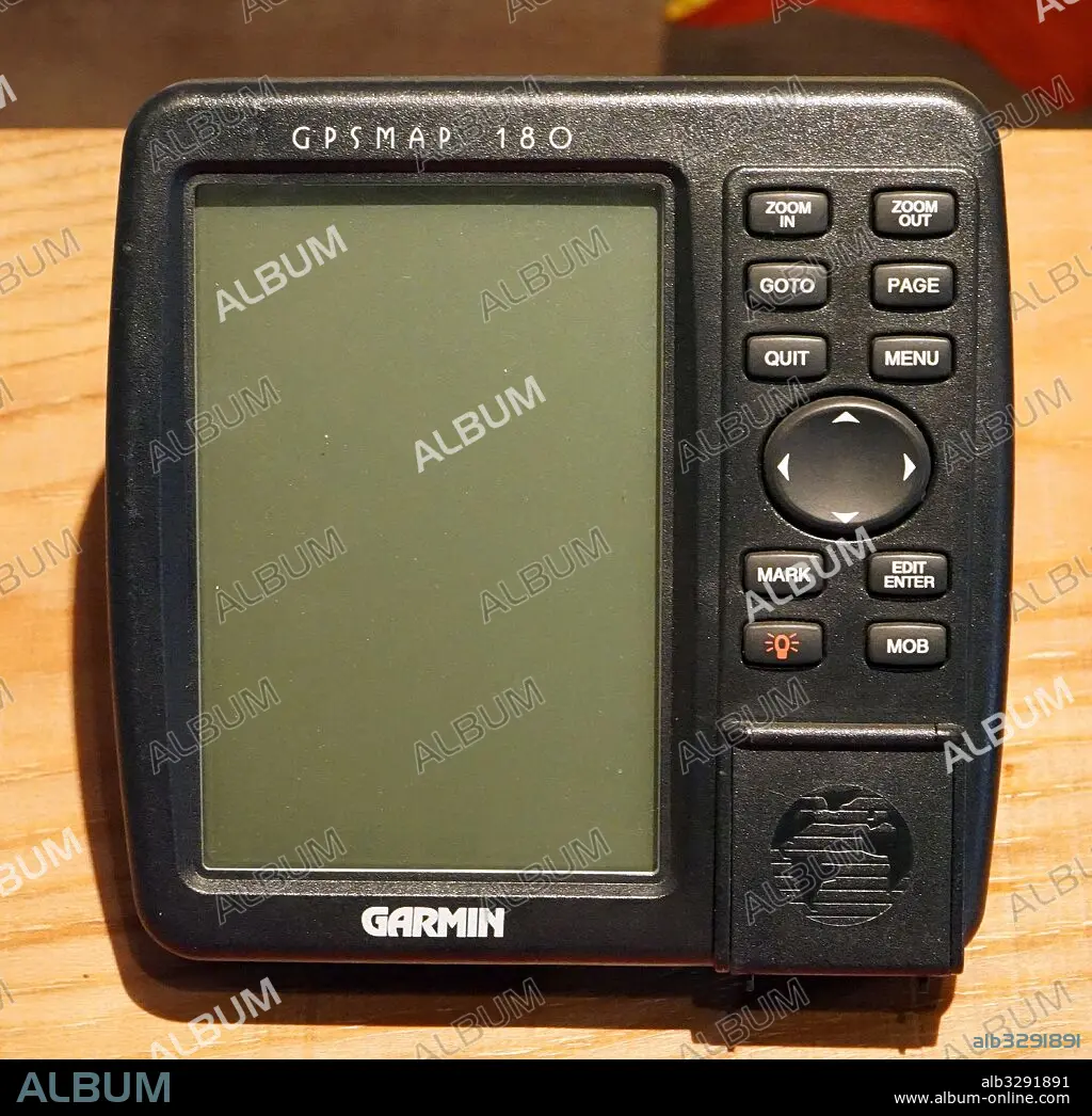
Marine GPS navigation device circa 1990. The Global Positioning System (GPS) is a space-based navigation system that provides location and time information in all weather conditions, anywhere on or near the Earth where there is an unobstructed line of sight to four or more GPS satellites
Marine GPS navigation device circa 1990. The Global Positioning System (GPS) is a space-based navigation system that provides location and time information in all weather conditions, anywhere on or near the Earth where there is an unobstructed line of sight to four or more GPS satellites
Crédit: Album / Universal Images Group
Autorisations: ? Autorisation de modèle: Non - ? Autorisation de propriété: Non
Questions sur les droits?
Questions sur les droits?
Taille de l'image: 4651 × 4509 px | 60.0 MB
Taille d'impression: 39.4 × 38.2 cm | 1831.1 × 1775.2 in (300 dpi)
Mots clés: NAVIGATION • SATELLITE
