alb4011016
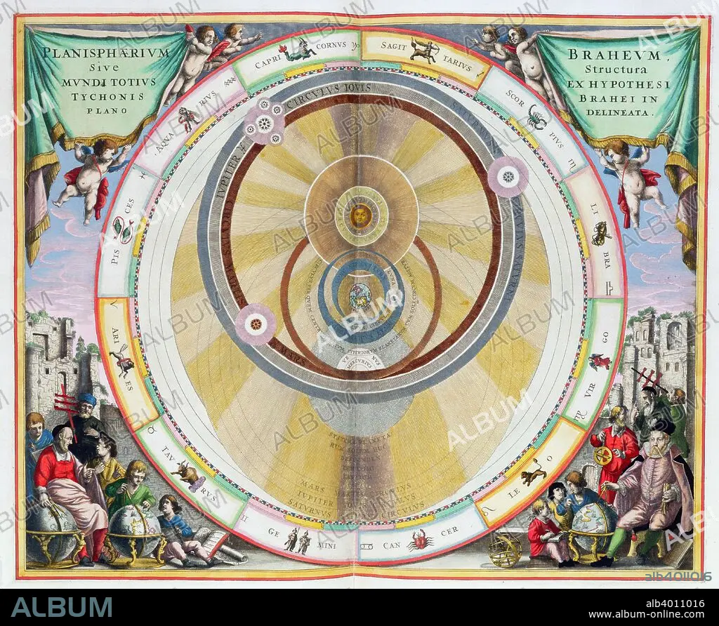
Map showing Tycho Brahe's system of planetary orbits, 1660-1661. Artist: Andreas Cellarius
| Partager |
|---|
 Pinterest Pinterest |
 Twitter Twitter |
 Facebook Facebook |
 Copier le lien Copier le lien |
 Email Email |
|
Ajouter à une autre Lightbox |
|
Ajouter à une autre Lightbox |


Avez-vous déjà un compte? S'identifier
Vous n'avez pas de compte ? S'inscrire
Acheter cette image

Titre:
Map showing Tycho Brahe's system of planetary orbits, 1660-1661. Artist: Andreas Cellarius
Légende:
Voir la traduction automatique
Map showing Tycho Brahe's system of planetary orbits, 1660-1661. From The Celestial Atlas, or The Harmony of the Universe (Atlas coelestis seu harmonia macrocosmica) by Andreas Cellarius, published by Johannes Janssonius, (Amsterdam 1660-1661).
Crédit:
Album / Heritage Images / Historica Graphica Collection
Autorisations:
Modèle: Non - Propriété: Non
Questions sur les droits?
Questions sur les droits?
Taille de l'image:
4648 x 3809 px | 50.7 MB
Taille d'impression:
39.4 x 32.2 cm | 15.5 x 12.7 in (300 dpi)
Mots clés:
ASTROLOGIE • ASTRONOMIE • ASTRONOMIE: PLANETES • COSMOS • COULEUR • HOLLANDE • ORBITE • PAYS BAS • PLANETE • PLANÈTES • SCIENCE: ASTROLOGIE • SCIENCE: ASTRONOMIE • SYSTEME SOLAIRE • THÉORIE • THÉRORIE • ZODIAQUE, ASTROLOGIE
