alb2205492
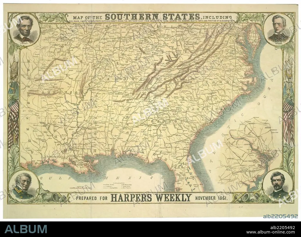
Map of the southern states with insets of Lincoln, Seward, Scott & McClellan-1861 1861
| Partager |
|---|
 Pinterest Pinterest |
 Twitter Twitter |
 Facebook Facebook |
 Copier le lien Copier le lien |
 Email Email |
|
Ajouter à une autre Lightbox |
|
Ajouter à une autre Lightbox |


Avez-vous déjà un compte? S'identifier
Vous n'avez pas de compte ? S'inscrire
Acheter cette image.
Sélectionnez l'usage:

Titre:
Map of the southern states with insets of Lincoln, Seward, Scott & McClellan-1861 1861
Légende:
Voir la traduction automatique
Map of the southern states, including rail roads, county towns, state capitals, county roads, the southern coast from Delaware to Texas, showing the harbors, inlets, forts, and position of blockading ships; portraits of Lincoln, Seward, Scott, and McClellan and inset map of Washington, D.C. and environs.
Crédit:
Album / Universal Images Group / Universal History Archive/UIG
Autorisations:
Modèle: Non - Propriété: Non
Questions sur les droits?
Questions sur les droits?
Taille de l'image:
9508 x 6992 px | 190.2 MB
Taille d'impression:
80.5 x 59.2 cm | 31.7 x 23.3 in (300 dpi)
Mots clés:
