alb2262730
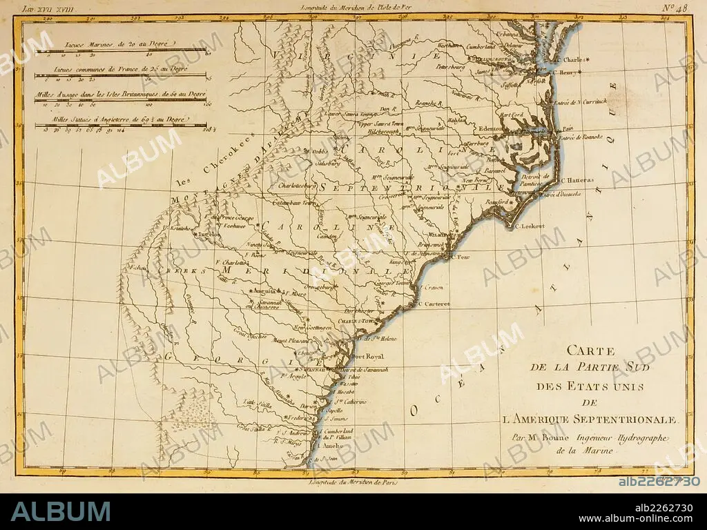
Map Of The Southern United States Of North America Circa 1760.
| Partager |
|---|
 Pinterest Pinterest |
 Twitter Twitter |
 Facebook Facebook |
 Copier le lien Copier le lien |
 Email Email |
|
Ajouter à une autre Lightbox |
|
Ajouter à une autre Lightbox |


Avez-vous déjà un compte? S'identifier
Vous n'avez pas de compte ? S'inscrire
Acheter cette image.
Sélectionnez l'usage:

Légende: Voir la traduction automatique
Map Of The Southern United States Of North America Circa 1760
Map Of The Southern United States Of North America Circa 1760
Crédit: Album / Universal Images Group / Universal History Archive
Autorisations: ? Autorisation de modèle: Non - ? Autorisation de propriété: Non
Questions sur les droits?
Questions sur les droits?
Taille de l'image: 5363 × 3744 px | 57.4 MB
Taille d'impression: 45.4 × 31.7 cm | 2111.4 × 1474.0 in (300 dpi)
Mots clés: 18 18E 18EME XVIII XVIIIE XVIIIEME SIECLE • 18E SIECLE • 18EME S • AMÉRCAIN • AMÉRICAIN • AMÉRICAINE • AMÉRICIAN • AMÉRICIANE • BAIE • CARTE (GEOGRAPHIE) • CARTE GEOGRAPHIQUE • CARTE • CARTOGRAPHIE • DESSIN PLANS • DIX-HUITIÈME SIÈCLE • GEOGRAPHIE • HISOIRE • HISTOIRE • ILLUSTRATION • NORD • PLAN (CARTOGRAPHIE) • PLANS • SCIENCE: CARTOGRAPHIE • XVIIIE SIECLE
