alb9099617
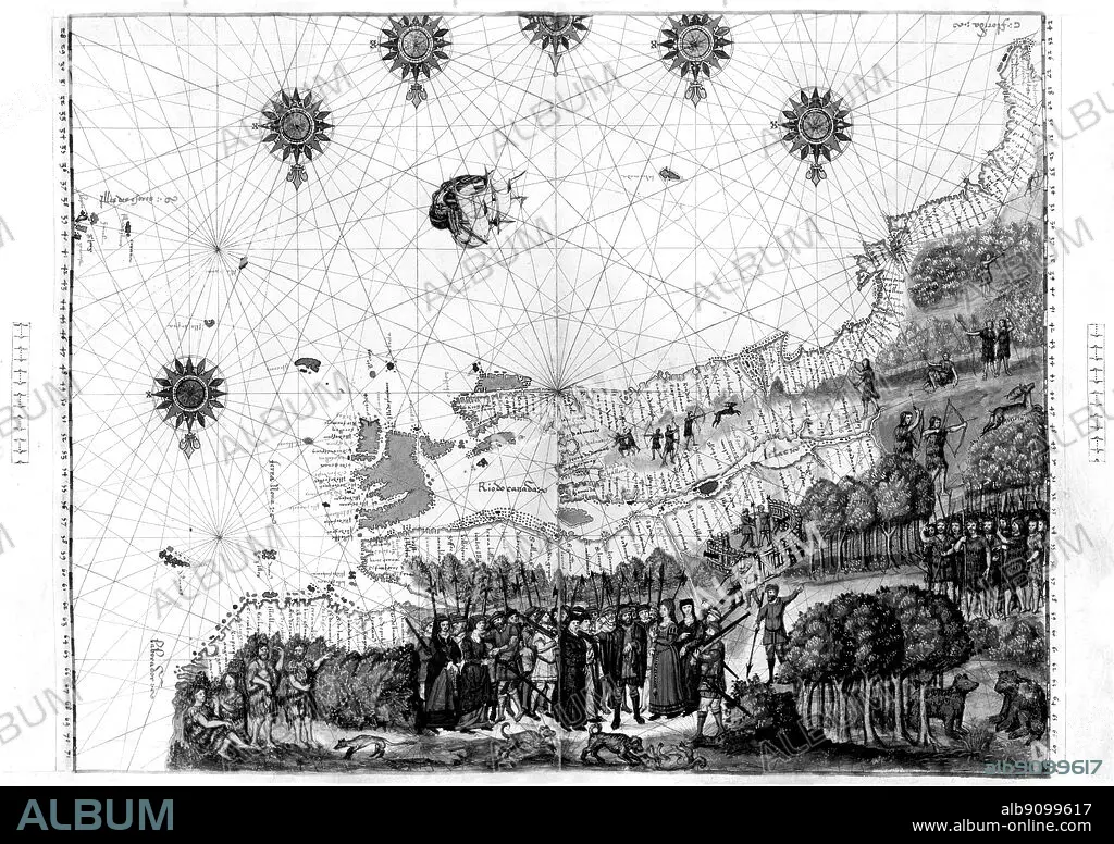
Jacques Cartier's map of Canada from the Nicholas Vallard Atlas (1547).
| Partager |
|---|
 Pinterest Pinterest |
 Twitter Twitter |
 Facebook Facebook |
 Copier le lien Copier le lien |
 Email Email |
|
Ajouter à une autre Lightbox |
|
Ajouter à une autre Lightbox |


Avez-vous déjà un compte? S'identifier
Vous n'avez pas de compte ? S'inscrire
Acheter cette image

Légende:
Voir la traduction automatique
Jacques Cartier's map of Canada from the Nicholas Vallard Atlas (1547)
Crédit:
Album / TopFoto
Autorisations:
Modèle: Non - Propriété: Non
Questions sur les droits?
Questions sur les droits?
Taille de l'image:
5524 x 3898 px | 61.6 MB
Taille d'impression:
46.8 x 33.0 cm | 18.4 x 13.0 in (300 dpi)
Mots clés:
