alb4071537
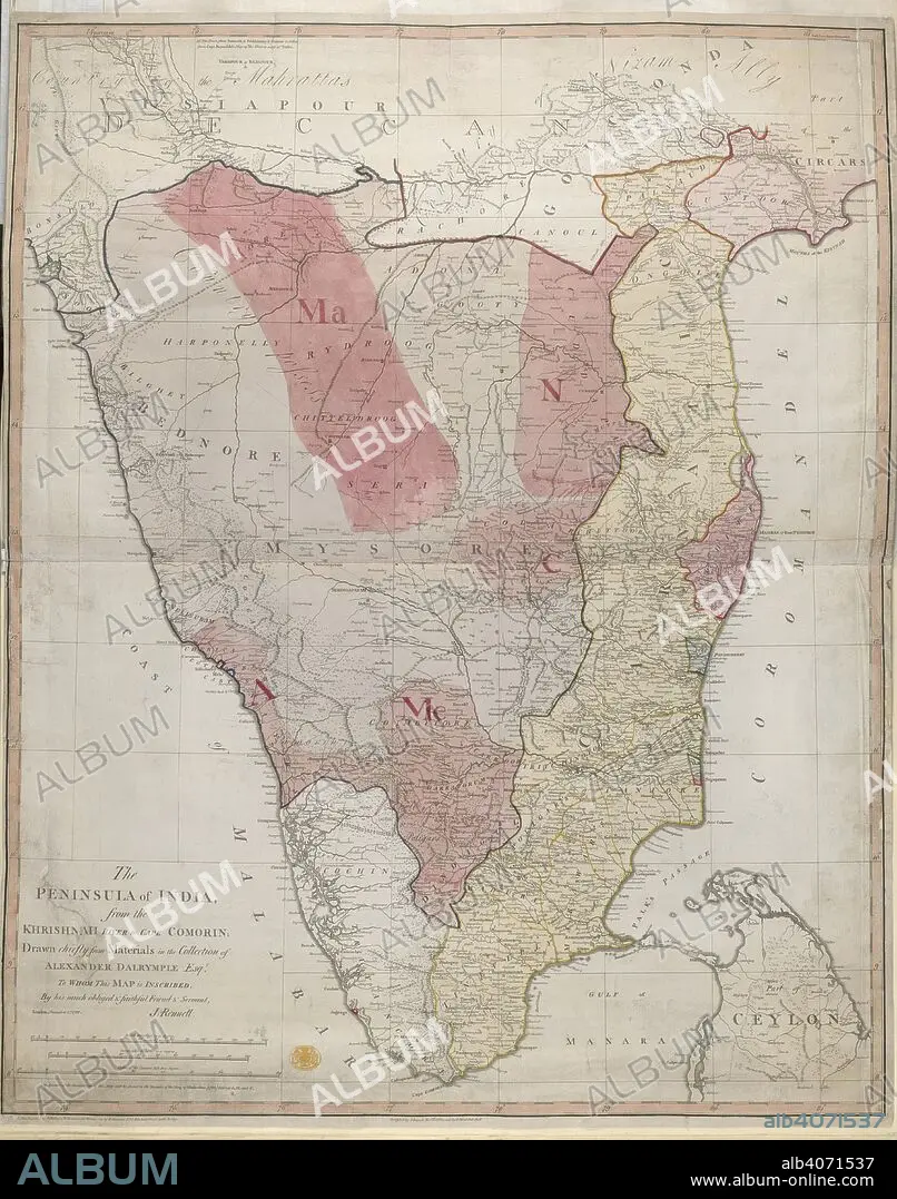
JAMES RENNELL. Peninsula of India. The Peninsula of India from the India from the Kri. 1788. Map of The Peninsula of India from the India from the Krishnah River to Cape Comorin. Image taken from The Peninsula of India from the India from the Krishnah River to Cape Comorin, drawn chiefly from materials in the collection of Alexr Dalrymple, Esq., by J. Rennell. Originally published/produced in 1788. . Source: Maps.K.Top.115.65,.
| Partager |
|---|
 Pinterest Pinterest |
 Twitter Twitter |
 Facebook Facebook |
 Copier le lien Copier le lien |
 Email Email |
|
Ajouter à une autre Lightbox |
|
Ajouter à une autre Lightbox |


Avez-vous déjà un compte? S'identifier
Vous n'avez pas de compte ? S'inscrire
Acheter cette image.
Sélectionnez l'usage:

Auteur:
Légende:
Voir la traduction automatique
Peninsula of India. The Peninsula of India from the India from the Kri. 1788. Map of The Peninsula of India from the India from the Krishnah River to Cape Comorin. Image taken from The Peninsula of India from the India from the Krishnah River to Cape Comorin, drawn chiefly from materials in the collection of Alexr Dalrymple, Esq., by J. Rennell. Originally published/produced in 1788. . Source: Maps.K.Top.115.65,.
Crédit:
Album / British Library
Autorisations:
Taille de l'image:
4464 x 5674 px | 72.5 MB
Taille d'impression:
37.8 x 48.0 cm | 14.9 x 18.9 in (300 dpi)
Mots clés:
ASIE • ASIE, CONTINENT • CARTE (GEOGRAPHIE) • CARTE GEOGRAPHIQUE • CARTE • CARTOGRAPHIE • CONTINENT ASIE • DESSIN PLANS • FLEUVE • INDE • INDES • JAMES RENNELL • PLAN (CARTOGRAPHIE) • PLANS • RIO • RIVIÈRE FLEUVE • RIVIERE • RIVIRE • RIVIRE • SCIENCE: CARTOGRAPHIE
