alb3801071
Europe Map, After Treaty of Gerstungen, 1074
| Partager |
|---|
 Pinterest Pinterest |
 Twitter Twitter |
 Facebook Facebook |
 Copier le lien Copier le lien |
 Email Email |
|
Ajouter à une autre Lightbox |
|
Ajouter à une autre Lightbox |


Avez-vous déjà un compte? S'identifier
Vous n'avez pas de compte ? S'inscrire
Acheter cette image.
Sélectionnez l'usage:

Titre: Europe Map, After Treaty of Gerstungen, 1074
Légende: Voir la traduction automatique
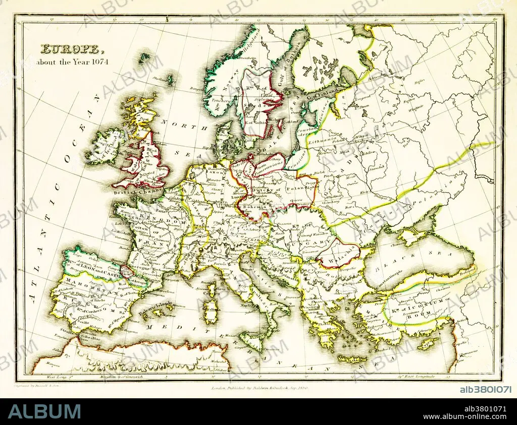
A map of Europe, showing territorial borders existing in the 11th century, specifically in 1074. The Treaty of Gerstungen was concluded on 2 February 1074 in Gerstungen Castle on the River Werra in what is now Germany. It required King Henry IV to restore the Duke Otto of Northeim to the Duchy of Bavaria. In 1073 the latter had successfully headed the rebellion of the Saxons. Map published in 1831.
A map of Europe, showing territorial borders existing in the 11th century, specifically in 1074. The Treaty of Gerstungen was concluded on 2 February 1074 in Gerstungen Castle on the River Werra in what is now Germany. It required King Henry IV to restore the Duke Otto of Northeim to the Duchy of Bavaria. In 1073 the latter had successfully headed the rebellion of the Saxons. Map published in 1831.
Crédit: Album / Science Source / British Library
Autorisations: ? Autorisation de modèle: Non - ? Autorisation de propriété: Non
Questions sur les droits?
Questions sur les droits?
Taille de l'image: 3543 × 2733 px | 27.7 MB
Taille d'impression: 30.0 × 23.1 cm | 1394.9 × 1076.0 in (300 dpi)
