alb2603632
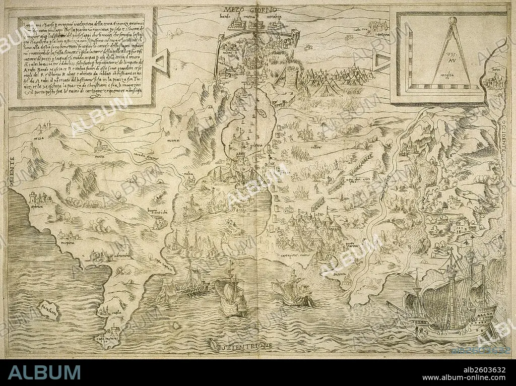
Map of the British Isles. 16th century. 1543.
| Partager |
|---|
 Pinterest Pinterest |
 Twitter Twitter |
 Facebook Facebook |
 Copier le lien Copier le lien |
 Email Email |
|
Ajouter à une autre Lightbox |
|
Ajouter à une autre Lightbox |


Avez-vous déjà un compte? S'identifier
Vous n'avez pas de compte ? S'inscrire
Acheter cette image.
Sélectionnez l'usage:

Légende:
Voir la traduction automatique
Map of the British Isles. 16th century. 1543
Crédit:
Album / Prisma
Autorisations:
Modèle: Non - Propriété: Non
Questions sur les droits?
Questions sur les droits?
Taille de l'image:
5695 x 3967 px | 64.6 MB
Taille d'impression:
48.2 x 33.6 cm | 19.0 x 13.2 in (300 dpi)
Mots clés:
16E SIECLE • 16EME S • AFRIQUE DU NORD • AFRIQUE • ANGLETARRE • ANGLETERE • ANGLETERRE • ART (CATÉGORIE) • ART • CARTE • CARTOGRAPHIE • EUROPE • FRAVURE • GRANDE BERTAGNE • GRANDE BRETAGNE • GRANDE-BRETAGNE • GRAVURE • HISOIRE • HISTOIRE • HISTORIQUE • ILE • ÎLES • INGLATERRA • IRELANDE • IRLANDE • MEDITERRANEAN • MÉDITERRANÉE • MÉDITERRANNÉE • NORD • ROYAUME UNI • ROYAUME-UNI • SCIENCE: CARTOGRAPHIE • SEIZIÈME SIÈCLE • XVIE SIECLE
