alb3355248
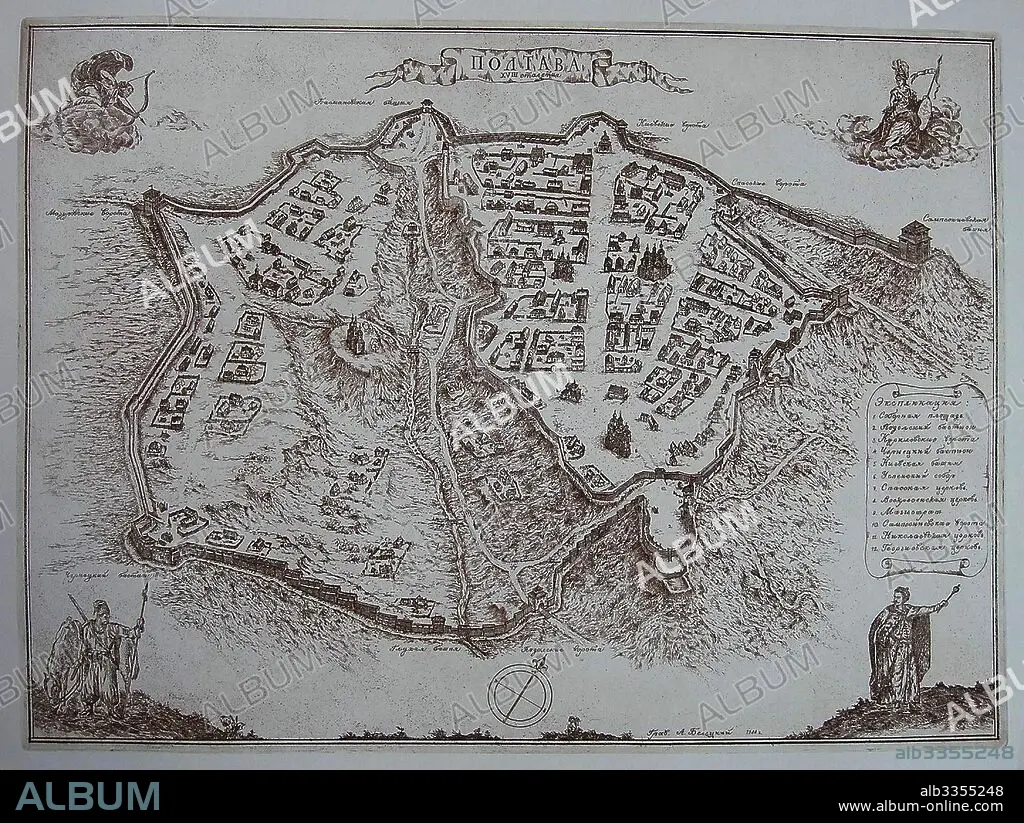
ANONYME. Map of Poltava in the early 18th-century.
| Partager |
|---|
 Pinterest Pinterest |
 Twitter Twitter |
 Facebook Facebook |
 Copier le lien Copier le lien |
 Email Email |
|
Ajouter à une autre Lightbox |
|
Ajouter à une autre Lightbox |


Avez-vous déjà un compte? S'identifier
Vous n'avez pas de compte ? S'inscrire
Acheter cette image.
Sélectionnez l'usage:

Auteur:
Légende:
Voir la traduction automatique
Map of Poltava in the early 18th-century
Technique/matériel:
GRAVURE SUR CUIVRE
Musée:
State Open-air Museum "Battle of Poltava", Poltava
Crédit:
Album / Fine Art Images
Autorisations:
Modèle: Non - Propriété: Non
Questions sur les droits?
Questions sur les droits?
Taille de l'image:
4399 x 3307 px | 41.6 MB
Taille d'impression:
37.2 x 28.0 cm | 14.7 x 11.0 in (300 dpi)
Mots clés:
