alb9658173
map, Acre, Israel, Third Crusade, Richard I, middle ages, 12th century, historical,
| Partager |
|---|
 Pinterest Pinterest |
 Twitter Twitter |
 Facebook Facebook |
 Copier le lien Copier le lien |
 Email Email |
|
Ajouter à une autre Lightbox |
|
Ajouter à une autre Lightbox |


Avez-vous déjà un compte? S'identifier
Vous n'avez pas de compte ? S'inscrire
Acheter cette image.
Sélectionnez l'usage:

Titre: map, Acre, Israel, Third Crusade, Richard I, middle ages, 12th century, historical,
Légende: Voir la traduction automatique
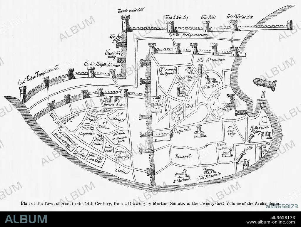
Plan of the Town of Acre in the 14th Century, from a Drawing by Martino Santo in the Twenty-Twenty-First Volume of the Archaeologia, Illustration from John Cassell's Illustrated History of England, Vol. I from the earliest period to the reign of Edward the Fourth, Cassell, Petter and Galpin, 1857
Plan of the Town of Acre in the 14th Century, from a Drawing by Martino Santo in the Twenty-Twenty-First Volume of the Archaeologia, Illustration from John Cassell's Illustrated History of England, Vol. I from the earliest period to the reign of Edward the Fourth, Cassell, Petter and Galpin, 1857
Crédit: Album / Universal Images Group / JT Vintage / Glasshouse Images
Autorisations: ? Autorisation de modèle: Non - ? Autorisation de propriété: Non
Questions sur les droits?
Questions sur les droits?
Taille de l'image: 5010 × 3522 px | 50.5 MB
Taille d'impression: 42.4 × 29.8 cm | 1972.4 × 1386.6 in (300 dpi)
Mots clés: 12E SIECLE • 12EME S • CARTE (GEOGRAPHIE) • CARTE GEOGRAPHIQUE • CARTE • DESSIN PLANS • DOUZIÈME SIÈCLE • GEOGRAPHIE • HORIZONTALE • ILLUSTRATION • ISRAEL • MILLESIME • NOIR ET BLANC • PLAN (CARTOGRAPHIE) • PLANS • RICHARD I • XIIE SIECLE
