alb5277953
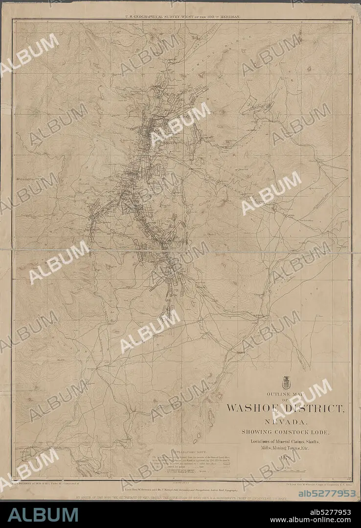
Outline map of Washoe District, Nevada , cartographic, Maps, 1879, Geographical Surveys West of the 100th Meridian (U.S.), Bien, Julius, 1826-1909, Wheeler, George M. (George Montague), 1842-1905, United States. Army. Corps of Engineers.
| Partager |
|---|
 Pinterest Pinterest |
 Twitter Twitter |
 Facebook Facebook |
 Copier le lien Copier le lien |
 Email Email |
|
Ajouter à une autre Lightbox |
|
Ajouter à une autre Lightbox |


Avez-vous déjà un compte? S'identifier
Vous n'avez pas de compte ? S'inscrire
Acheter cette image.
Sélectionnez l'usage:

Légende:
Voir la traduction automatique
Outline map of Washoe District, Nevada , cartographic, Maps, 1879, Geographical Surveys West of the 100th Meridian (U.S.), Bien, Julius, 1826-1909, Wheeler, George M. (George Montague), 1842-1905, United States. Army. Corps of Engineers
Crédit:
Album / quintlox
Autorisations:
Modèle: Non - Propriété: Non
Questions sur les droits?
Questions sur les droits?
Taille de l'image:
4322 x 6000 px | 74.2 MB
Taille d'impression:
36.6 x 50.8 cm | 14.4 x 20.0 in (300 dpi)
Mots clés:
