alb9508142
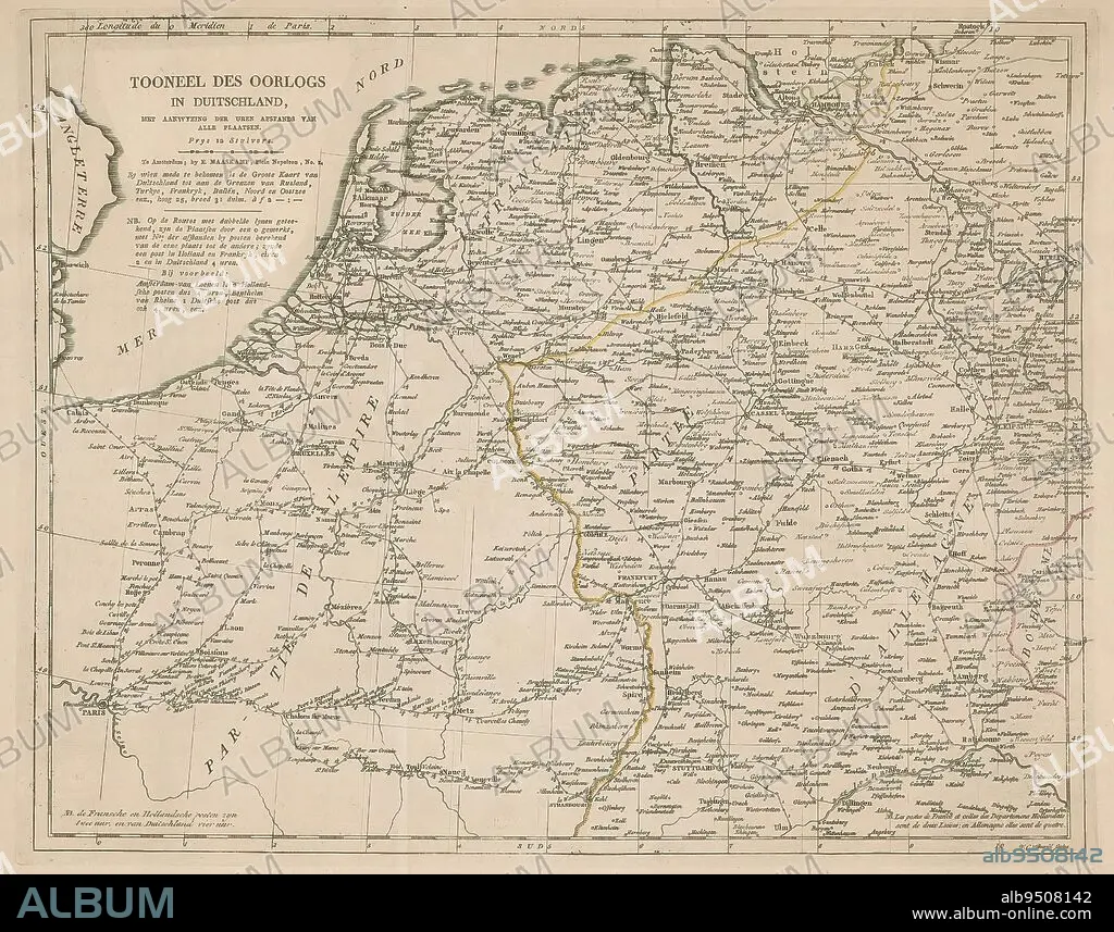
Map of Germany, Holland and Northern France, Tooneel des war in Duitschland (title on object), Map of Germany, Holland and Northern France, with the distance between the cities in hours., print maker: Willem Cornelis van Baarsel, (mentioned on object), publisher: Evert Maaskamp, (mentioned on object), Amsterdam, 1806 - 1813, paper, engraving, height 340 mm × width 426 mm.
| Partager |
|---|
 Pinterest Pinterest |
 Twitter Twitter |
 Facebook Facebook |
 Copier le lien Copier le lien |
 Email Email |
|
Ajouter à une autre Lightbox |
|
Ajouter à une autre Lightbox |


Avez-vous déjà un compte? S'identifier
Vous n'avez pas de compte ? S'inscrire
Acheter cette image

Légende:
Voir la traduction automatique
Map of Germany, Holland and Northern France, Tooneel des war in Duitschland (title on object), Map of Germany, Holland and Northern France, with the distance between the cities in hours., print maker: Willem Cornelis van Baarsel, (mentioned on object), publisher: Evert Maaskamp, (mentioned on object), Amsterdam, 1806 - 1813, paper, engraving, height 340 mm × width 426 mm
Crédit:
Album / quintlox
Autorisations:
Modèle: Non - Propriété: Non
Questions sur les droits?
Questions sur les droits?
Taille de l'image:
3764 x 2955 px | 31.8 MB
Taille d'impression:
31.9 x 25.0 cm | 12.5 x 9.8 in (300 dpi)
Mots clés:
ALLEMAGNE • AMSTERDAM • CARTE (GEOGRAPHIE) • CARTE GEOGRAPHIQUE • CARTE • DESSIN PLANS • DISTANCE • FRAVURE • GRAVURE • HEURE • HOLLANDE • OBJET • PAPIER • PAYS BAS • PLAN (CARTOGRAPHIE) • PLANS
