alb3511781
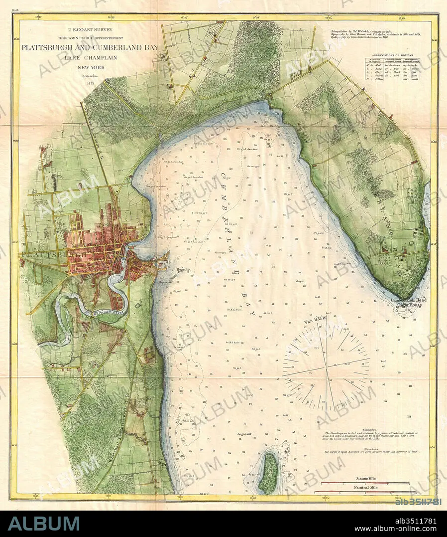
1872, U.S. Coast Survey Map of Plattsburgh and Lake Champlain, New York.
| Partager |
|---|
 Pinterest Pinterest |
 Twitter Twitter |
 Facebook Facebook |
 Copier le lien Copier le lien |
 Email Email |
|
Ajouter à une autre Lightbox |
|
Ajouter à une autre Lightbox |


Avez-vous déjà un compte? S'identifier
Vous n'avez pas de compte ? S'inscrire
Acheter cette image

Légende:
Voir la traduction automatique
1872, U.S. Coast Survey Map of Plattsburgh and Lake Champlain, New York
Crédit:
Album / quintlox
Autorisations:
Modèle: Non - Propriété: Non
Questions sur les droits?
Questions sur les droits?
Taille de l'image:
4560 x 5202 px | 67.9 MB
Taille d'impression:
38.6 x 44.0 cm | 15.2 x 17.3 in (300 dpi)
Mots clés:
ANCIEN • ANTIQUE • ART (CATÉGORIE) • ART • CARTE (GEOGRAPHIE) • CARTE GEOGRAPHIQUE • CARTE • CARTOGRAPHIE • COSMOS • DÉCOUVERTE • DESSIN PLANS • EXPLORATION • GEOGRAPHIE • GEOMETRIQUE • GEOMETRIQUES, MOTIFS • HISOIRE • HISTOIRE • HISTORIQUE • ILLUSTRATION • MILLESIME • MONDE • MOTIFS GEOMETRIQUES • NAVIGATION • NEW YORK • NEW YORK, ETATS-UNIS • NEW-YORK • PAPIER • PLAN (CARTOGRAPHIE) • PLANS • SCIENCE: CARTOGRAPHIE • TERROIR • TOPOGRAPHIE • TRANSPORT VOYAGE • TRAVERSÉE • VOYAGE
