alb5300131
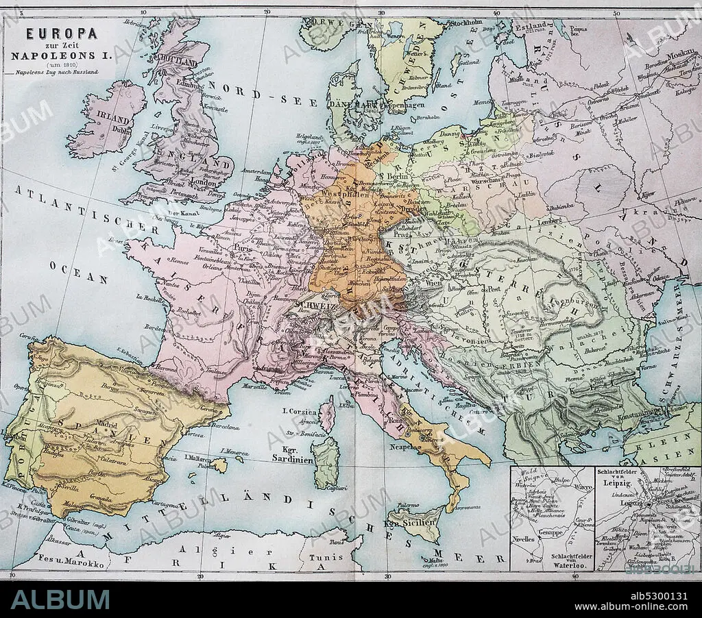
Historical map of Europe from the time of Napoleon I. / Historische Landkarte von Europa zur Zeit von Napoleon I.
| Partager |
|---|
 Pinterest Pinterest |
 Twitter Twitter |
 Facebook Facebook |
 Copier le lien Copier le lien |
 Email Email |
|
Ajouter à une autre Lightbox |
|
Ajouter à une autre Lightbox |


Avez-vous déjà un compte? S'identifier
Vous n'avez pas de compte ? S'inscrire
Acheter cette image

Titre:
Historical map of Europe from the time of Napoleon I. / Historische Landkarte von Europa zur Zeit von Napoleon I.
Légende:
Voir la traduction automatique
Historical map of Europe from the time of Napoleon I. / Historische Landkarte von Europa zur Zeit von Napoleon I..
Crédit:
Album / Universal Images Group / Bildagentur-online
Autorisations:
Modèle: Non - Propriété: Non
Questions sur les droits?
Questions sur les droits?
Taille de l'image:
3393 x 2814 px | 27.3 MB
Taille d'impression:
28.7 x 23.8 cm | 11.3 x 9.4 in (300 dpi)
Mots clés:
