alb1963759
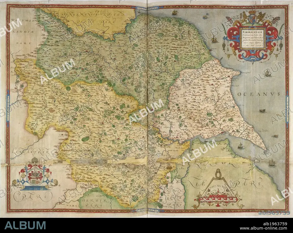
Map of Yorkshire. EBORACENSIS Comitatus. MAPS OF COUNTIES of England and Wales, printed and coloured; from drawings by Christopher Saxton. 1577. Source: Royal 18 D. III, ff.60v-61.
| Partager |
|---|
 Pinterest Pinterest |
 Twitter Twitter |
 Facebook Facebook |
 Copier le lien Copier le lien |
 Email Email |
|
Ajouter à une autre Lightbox |
|
Ajouter à une autre Lightbox |


Avez-vous déjà un compte? S'identifier
Vous n'avez pas de compte ? S'inscrire
Acheter cette image.
Sélectionnez l'usage:

Légende:
Voir la traduction automatique
Map of Yorkshire. EBORACENSIS Comitatus. MAPS OF COUNTIES of England and Wales, printed and coloured; from drawings by Christopher Saxton. 1577. Source: Royal 18 D. III, ff.60v-61.
Crédit:
Album / British Library
Autorisations:
Modèle: Non - Propriété: Non
Questions sur les droits?
Questions sur les droits?
Taille de l'image:
6011 x 4469 px | 76.9 MB
Taille d'impression:
50.9 x 37.8 cm | 20.0 x 14.9 in (300 dpi)
Mots clés:
