alb5302256
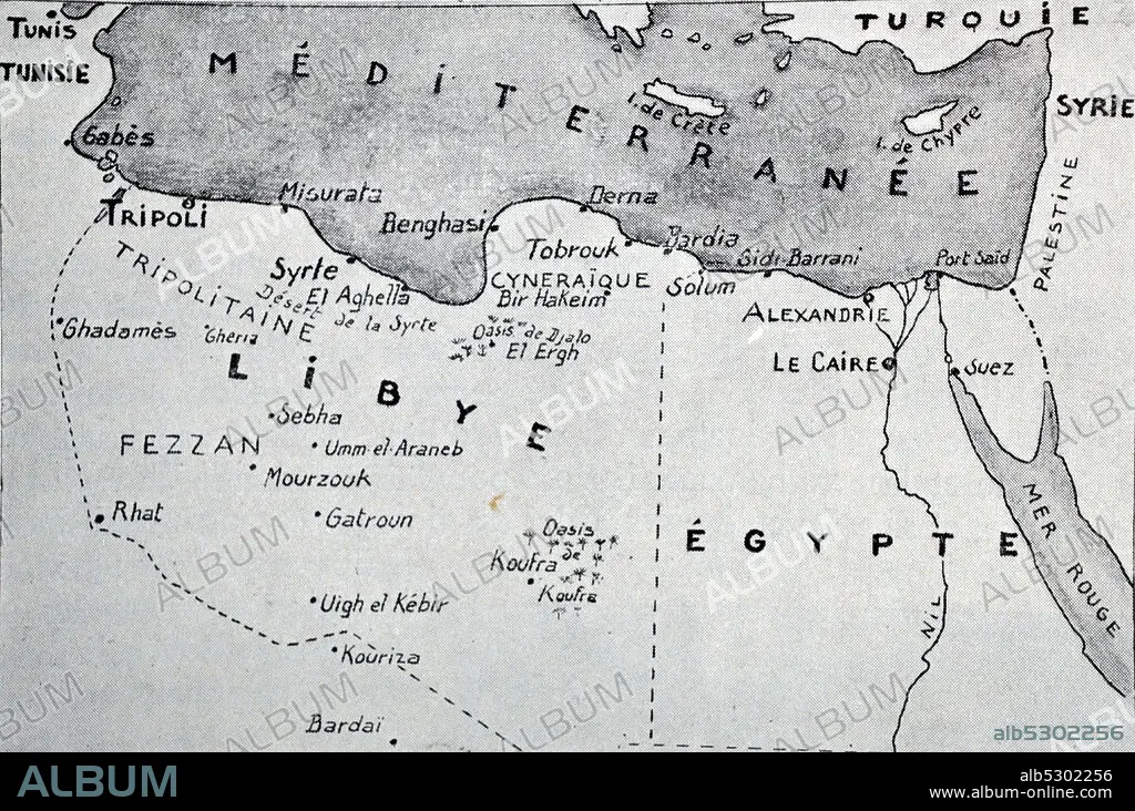
Map of Libya and Egypt.
| Partager |
|---|
 Pinterest Pinterest |
 Twitter Twitter |
 Facebook Facebook |
 Copier le lien Copier le lien |
 Email Email |
|
Ajouter à une autre Lightbox |
|
Ajouter à une autre Lightbox |


Avez-vous déjà un compte? S'identifier
Vous n'avez pas de compte ? S'inscrire
Acheter cette image

Titre:
Map of Libya and Egypt.
Légende:
Voir la traduction automatique
Black and white photograph of World War II (1939-1945); map of Libya and Egypt and during the early stages of the war showing different battle fields.
Crédit:
Album / Universal Images Group / Universal History Archive
Autorisations:
Modèle: Non - Propriété: Non
Questions sur les droits?
Questions sur les droits?
Taille de l'image:
5623 x 3730 px | 60.0 MB
Taille d'impression:
47.6 x 31.6 cm | 18.7 x 12.4 in (300 dpi)
Mots clés:
