alb6151078
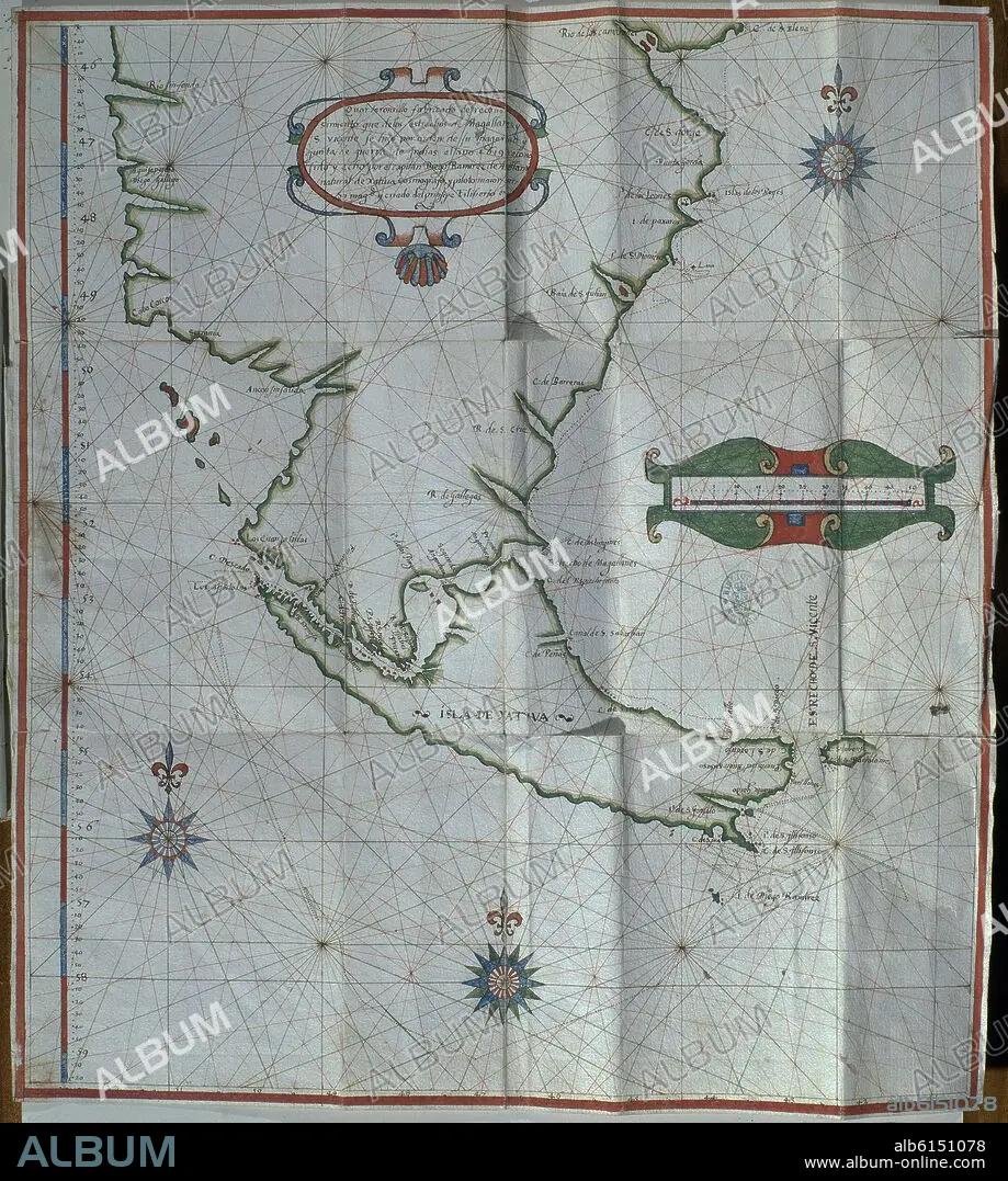
DIEGO RAMÍREZ DE ARELLANO. MAPA PLEGADO DEL ESTRECHO DE MAGALLANES - 1619
| Partager |
|---|
 Pinterest Pinterest |
 Twitter Twitter |
 Facebook Facebook |
 Copier le lien Copier le lien |
 Email Email |
|
Ajouter à une autre Lightbox |
|
Ajouter à une autre Lightbox |


Avez-vous déjà un compte? S'identifier
Vous n'avez pas de compte ? S'inscrire
Acheter cette image.
Sélectionnez l'usage:

Légende:
Traduction automatique: CARTE PLIÉE DU DÉTROIT DE MAGELLAN - 1619
MAPA PLEGADO DEL ESTRECHO DE MAGALLANES - 1619
Emplacement:
Crédit:
Album / Oronoz
Autorisations:
Modèle: Non - Propriété: Non
Questions sur les droits?
Questions sur les droits?
Taille de l'image:
3585 x 3996 px | 41.0 MB
Taille d'impression:
30.4 x 33.8 cm | 11.9 x 13.3 in (300 dpi)
Mots clés:
17E SIECLE • 17EME S • AMÉRIQUE DU SUD • AMERIQUE LATINE (AMERIQUE DU SUD) • AMERIQUE LATINE • BIBLIOTECA NACIONAL-COLECCION • CARTE (GEOGRAPHIE) • CARTE GEOGRAPHIQUE • CARTE • CARTOGRAPHIE • DESSIN PLANS • DIX-SEPTIÈME SIÈCLE • ESPAGNE • MADRID • PLAN (CARTOGRAPHIE) • PLANS • RAMIREZ DE ARELLANO, DIEGO • SCIENCE: CARTOGRAPHIE • XVIIE SIECLE
