alb4193261
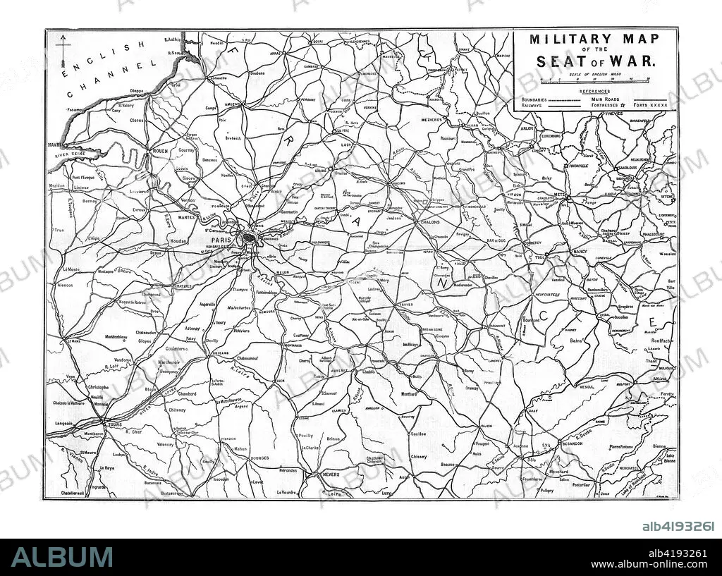
'Military Map of the Seat of War', 1870. Artist: Unknown.
| Partager |
|---|
 Pinterest Pinterest |
 Twitter Twitter |
 Facebook Facebook |
 Copier le lien Copier le lien |
 Email Email |
|
Ajouter à une autre Lightbox |
|
Ajouter à une autre Lightbox |


Avez-vous déjà un compte? S'identifier
Vous n'avez pas de compte ? S'inscrire
Acheter cette image

Titre:
'Military Map of the Seat of War', 1870. Artist: Unknown.
Légende:
Voir la traduction automatique
'Military Map of the Seat of War', 1870. Map showing northern France, including Paris and the English Channel, during the Franco-Prussian War, (1870-1871). From The Times, 15 November 1870.
Crédit:
Album / Heritage Images / The Print Collector
Autorisations:
Modèle: Non - Propriété: Non
Questions sur les droits?
Questions sur les droits?
Taille de l'image:
8100 x 6040 px | 140.0 MB
Taille d'impression:
68.6 x 51.1 cm | 27.0 x 20.1 in (300 dpi)
Mots clés:
