alb8363439
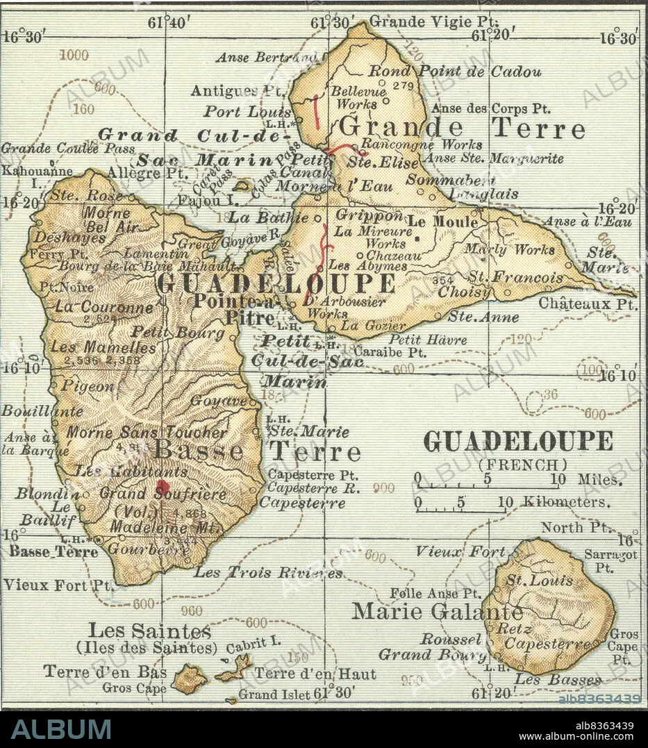
Map of Guadeloupe
| Partager |
|---|
 Pinterest Pinterest |
 Twitter Twitter |
 Facebook Facebook |
 Copier le lien Copier le lien |
 Email Email |
|
Ajouter à une autre Lightbox |
|
Ajouter à une autre Lightbox |


Avez-vous déjà un compte? S'identifier
Vous n'avez pas de compte ? S'inscrire
Acheter cette image.
Sélectionnez l'usage:

Légende:
Voir la traduction automatique
Map of Guadeloupe
Crédit:
Album / Universal Images Group / Encyclopaedia Britannica
Autorisations:
Modèle: Non - Propriété: Non
Questions sur les droits?
Questions sur les droits?
Taille de l'image:
3679 x 4036 px | 42.5 MB
Taille d'impression:
31.1 x 34.2 cm | 12.3 x 13.5 in (300 dpi)
Mots clés:
