alb8362812
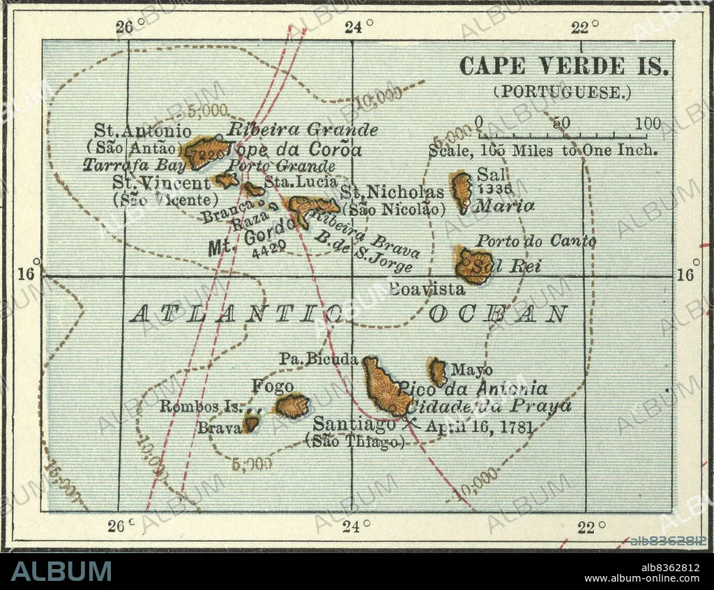
Map of Cape Verde Islands
| Partager |
|---|
 Pinterest Pinterest |
 Twitter Twitter |
 Facebook Facebook |
 Copier le lien Copier le lien |
 Email Email |
|
Ajouter à une autre Lightbox |
|
Ajouter à une autre Lightbox |


Avez-vous déjà un compte? S'identifier
Vous n'avez pas de compte ? S'inscrire
Acheter cette image

Titre:
Map of Cape Verde Islands
Légende:
Voir la traduction automatique
Map of Cape Verde Islands
Crédit:
Album / Universal Images Group / Encyclopaedia Britannica
Autorisations:
Modèle: Non - Propriété: Non
Questions sur les droits?
Questions sur les droits?
Taille de l'image:
3316 x 2571 px | 24.4 MB
Taille d'impression:
28.1 x 21.8 cm | 11.1 x 8.6 in (300 dpi)
Mots clés:
AFRIQUE • ANNEES 1990 • ANNEES QUATRE-VINGT-DIX • ART PORTUGAIS • CARTE (GEOGRAPHIE) • CARTE GEOGRAPHIQUE • CARTE • CARTOGRAPHIE • DESSIN PLANS • DETAIL • EXPLORATION • GEOGRAPHIE • HISOIRE • HISTOIRE • HORIZONTALE • ILE • ÎLES • OCEAN ATLANTIQUE • PLAN (CARTOGRAPHIE) • PLANS • PORTUGAIS • PORTUGAISE • SCIENCE: CARTOGRAPHIE • XIXE SIÈCLE
