alb4069074
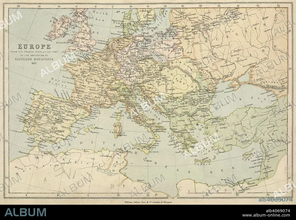
E WELLER. A map of Europe from the French Revolution (1793) to the abdication of Napoleon Bonaparte 1815. Collins' Series of Atlases. The Student's Atlas of Historical Geography, consisting of sixteen Maps, constructed and engraved by Edward Weller, F.R.G.S., and descriptive letterpress by W.F. Collier. With Index. London, Glasgow and Edinburgh : William Collins, Sons, & Co., 1873. Source: Maps 49.c.78, no.13. Language: English.
| Partager |
|---|
 Pinterest Pinterest |
 Twitter Twitter |
 Facebook Facebook |
 Copier le lien Copier le lien |
 Email Email |
|
Ajouter à une autre Lightbox |
|
Ajouter à une autre Lightbox |


Avez-vous déjà un compte? S'identifier
Vous n'avez pas de compte ? S'inscrire
Acheter cette image

Auteur:
Légende:
Voir la traduction automatique
A map of Europe from the French Revolution (1793) to the abdication of Napoleon Bonaparte 1815. Collins' Series of Atlases. The Student's Atlas of Historical Geography, consisting of sixteen Maps, constructed and engraved by Edward Weller, F.R.G.S., and descriptive letterpress by W.F. Collier. With Index. London, Glasgow and Edinburgh : William Collins, Sons, & Co., 1873. Source: Maps 49.c.78, no.13. Language: English.
Crédit:
Album / British Library
Autorisations:
Modèle: Non - Propriété: Non
Questions sur les droits?
Questions sur les droits?
Taille de l'image:
6234 x 4323 px | 77.1 MB
Taille d'impression:
52.8 x 36.6 cm | 20.8 x 14.4 in (300 dpi)
Mots clés:
