alb4067753
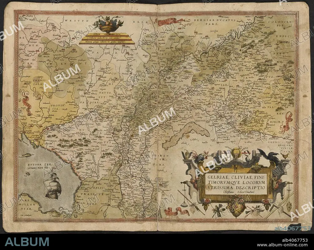
GERARDUS MERCATOR. Map of Gelderland and Cleves. The Mercator atlas of Europe. 1570-1572. Gelriae, Cliviae, fini timorumque locorum, verissima descriptio. Image taken from The Mercator atlas of Europe. Originally published/produced in 1570-1572. . Source: Maps.C.29.c.13, 17.
| Partager |
|---|
 Pinterest Pinterest |
 Twitter Twitter |
 Facebook Facebook |
 Copier le lien Copier le lien |
 Email Email |
|
Ajouter à une autre Lightbox |
|
Ajouter à une autre Lightbox |


Avez-vous déjà un compte? S'identifier
Vous n'avez pas de compte ? S'inscrire
Acheter cette image.
Sélectionnez l'usage:

Auteur: Gerardus Mercator (1512-1594)
Légende: Voir la traduction automatique
Map of Gelderland and Cleves. The Mercator atlas of Europe. 1570-1572. Gelriae, Cliviae, fini timorumque locorum, verissima descriptio. Image taken from The Mercator atlas of Europe. Originally published/produced in 1570-1572. . Source: Maps.C.29.c.13, 17.
Map of Gelderland and Cleves. The Mercator atlas of Europe. 1570-1572. Gelriae, Cliviae, fini timorumque locorum, verissima descriptio. Image taken from The Mercator atlas of Europe. Originally published/produced in 1570-1572. . Source: Maps.C.29.c.13, 17.
Crédit: Album / British Library
Taille de l'image: 6100 × 4549 px | 79.4 MB
Taille d'impression: 51.6 × 38.5 cm | 2401.6 × 1790.9 in (300 dpi)
Mots clés: CARTE (GEOGRAPHIE) • CARTE GEOGRAPHIQUE • CARTE • DESSIN PLANS • EUROPE • HOLLANDE • MERCATOR, GERARDUS • PAYS BAS • PLAN (CARTOGRAPHIE) • PLANS • SGROOTEN CHRISTIAN
