alb4101601
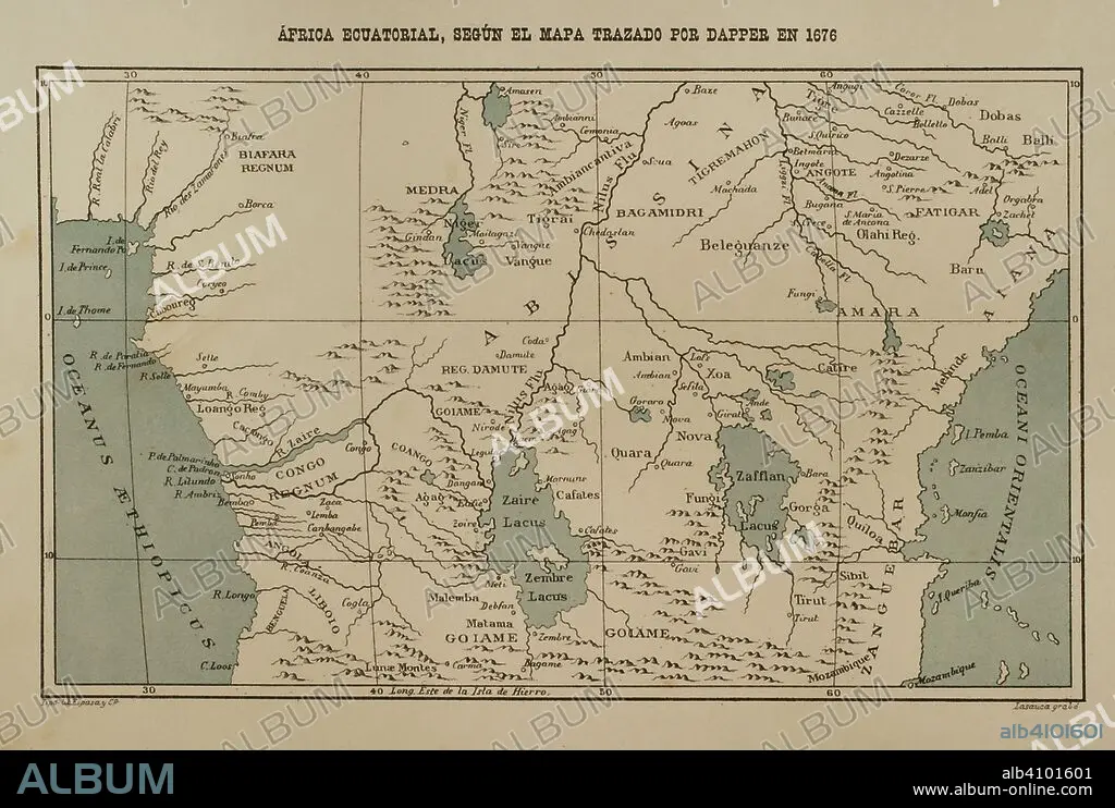
Equatorial Africa according to the map drawn by Dapper in 1616. Africa inexplorada, el Continente Misterioso by Henry Morton Stanley, c. 1887.
| Partager |
|---|
 Pinterest Pinterest |
 Twitter Twitter |
 Facebook Facebook |
 Copier le lien Copier le lien |
 Email Email |
|
Ajouter à une autre Lightbox |
|
Ajouter à une autre Lightbox |


Avez-vous déjà un compte? S'identifier
Vous n'avez pas de compte ? S'inscrire
Acheter cette image

Légende:
Voir la traduction automatique
Equatorial Africa according to the map drawn by Dapper in 1616. Africa inexplorada, el Continente Misterioso by Henry Morton Stanley, c. 1887.
Crédit:
Album / Prisma
Autorisations:
Modèle: Non - Propriété: Non
Questions sur les droits?
Questions sur les droits?
Taille de l'image:
4961 x 3336 px | 47.3 MB
Taille d'impression:
42.0 x 28.2 cm | 16.5 x 11.1 in (300 dpi)
Mots clés:
17E SIECLE • 17EME S • ABYSSINE • ABYSSINIE • AFRICAIN • AFRICAINE • AFRIQUE • AFRIQUE, CONTINENT • CARTE (GEOGRAPHIE) • CARTE GEOGRAPHIQUE • CARTE • CARTOGRAPHIE • COLONIALISME • CONGO • CONTINENT AFRIQUE • DESSIN PLANS • DIX-SEPTIÈME SIÈCLE • EAU LAC • EUROPÉEN • EXPEDITION • EXPLORATION • EXPŽDITION • FRAVURE • GEOGRAPHIE • GRAVURE • HISOIRE • HISTOIRE • HISTORIQUE • LAC • LACS • OCEAN ATLANTIQUE • PLAN (CARTOGRAPHIE) • PLANS • ROYAUME • ROYAUTÉ • SCIENCE: CARTOGRAPHIE • TERRITOIRE • TERROIR • TRANSPORT VOYAGE • TRAVERSÉE • VOYAGE DE DECOUVERTE • VOYAGE • VOYAGES EXPEDITIONS • XIXE SIÈCLE • XVIIE SIECLE • ZANZIBAR
