alb4945512
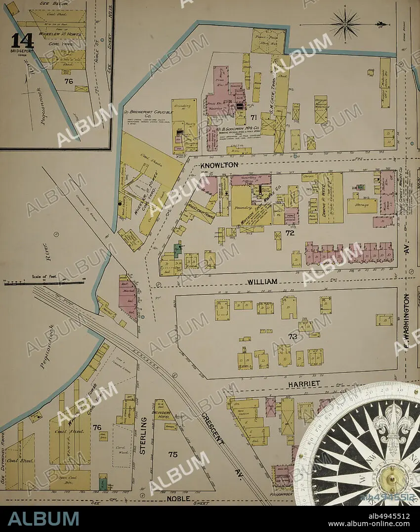
Image 14 of Sanborn Fire Insurance Map from Bridgeport, Fairfield County, Connecticut. 1889. 37 Sheet(s). Bound, America, street map with a Nineteenth Century compass.
| Partager |
|---|
 Pinterest Pinterest |
 Twitter Twitter |
 Facebook Facebook |
 Copier le lien Copier le lien |
 Email Email |
|
Ajouter à une autre Lightbox |
|
Ajouter à une autre Lightbox |


Avez-vous déjà un compte? S'identifier
Vous n'avez pas de compte ? S'inscrire
Acheter cette image.
Sélectionnez l'usage:

Légende: Voir la traduction automatique
Image 14 of Sanborn Fire Insurance Map from Bridgeport, Fairfield County, Connecticut. 1889. 37 Sheet(s). Bound, America, street map with a Nineteenth Century compass
Image 14 of Sanborn Fire Insurance Map from Bridgeport, Fairfield County, Connecticut. 1889. 37 Sheet(s). Bound, America, street map with a Nineteenth Century compass
Crédit: Album / quintlox
Autorisations: ? Autorisation de modèle: Non - ? Autorisation de propriété: Non
Questions sur les droits?
Questions sur les droits?
Taille de l'image: 5000 × 6022 px | 86.1 MB
Taille d'impression: 42.3 × 51.0 cm | 1968.5 × 2370.9 in (300 dpi)
Mots clés: AMERICAIN (ETATS-UNIS) • AMERICAIN (USA) • AMERIQUE • AMERIQUE, CONTINENT • CARTE • CARTOGRAPHIE • CITE • CONTINENT AMERIQUE • DEHORS • EN PLEINE NATURE • ÉTAS UNIS • ÉTAS-UNIS • ETATS UNIS • ETATS-UNIS • GEOGRAPHIE • MILLESIME • RUE • SCIENCE: CARTOGRAPHIE • TRANSPORT VOYAGE • TRAVERSÉE • U. S. A. • VILE • VILLE • VOYAGE • ŽTATS-UNIS
